

Geoinformation & Cartography at the Austrian Alpine Club
Österreichischer Alpenverein · Kartographie und Geoinformation
Innsbruck, Austria
Overview
During an eight-week full-time internship at the Austrian Alpine Club, I worked with the Kartographie und Geoinformation team on spatial data used in the production of Alpenvereinskarten. My work ranged from detailed desktop GIS and cartographic data preparation to mobile field verification in alpine terrain.
Land-cover preparation
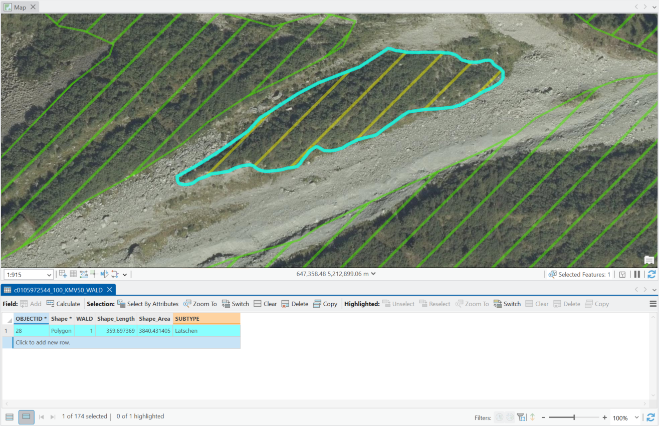
My main task was preparing land-cover base data for four upcoming map sheets. In ArcGIS Pro, I refined existing vegetation polygons using orthophotos, a digital surface model, historical maps, and additional reference imagery. After digitization, I also applied the team’s cartographic generalization workflow for the final 1:25,000 map scale.
Long-distance hiking trails
I created coherent geometries for major long-distance hiking trails by researching existing GPX stages and aligning them with the official BEV road and trail network. Ambiguous or incomplete sections required combining orthophotos, route descriptions, and additional usage information.
Field verification
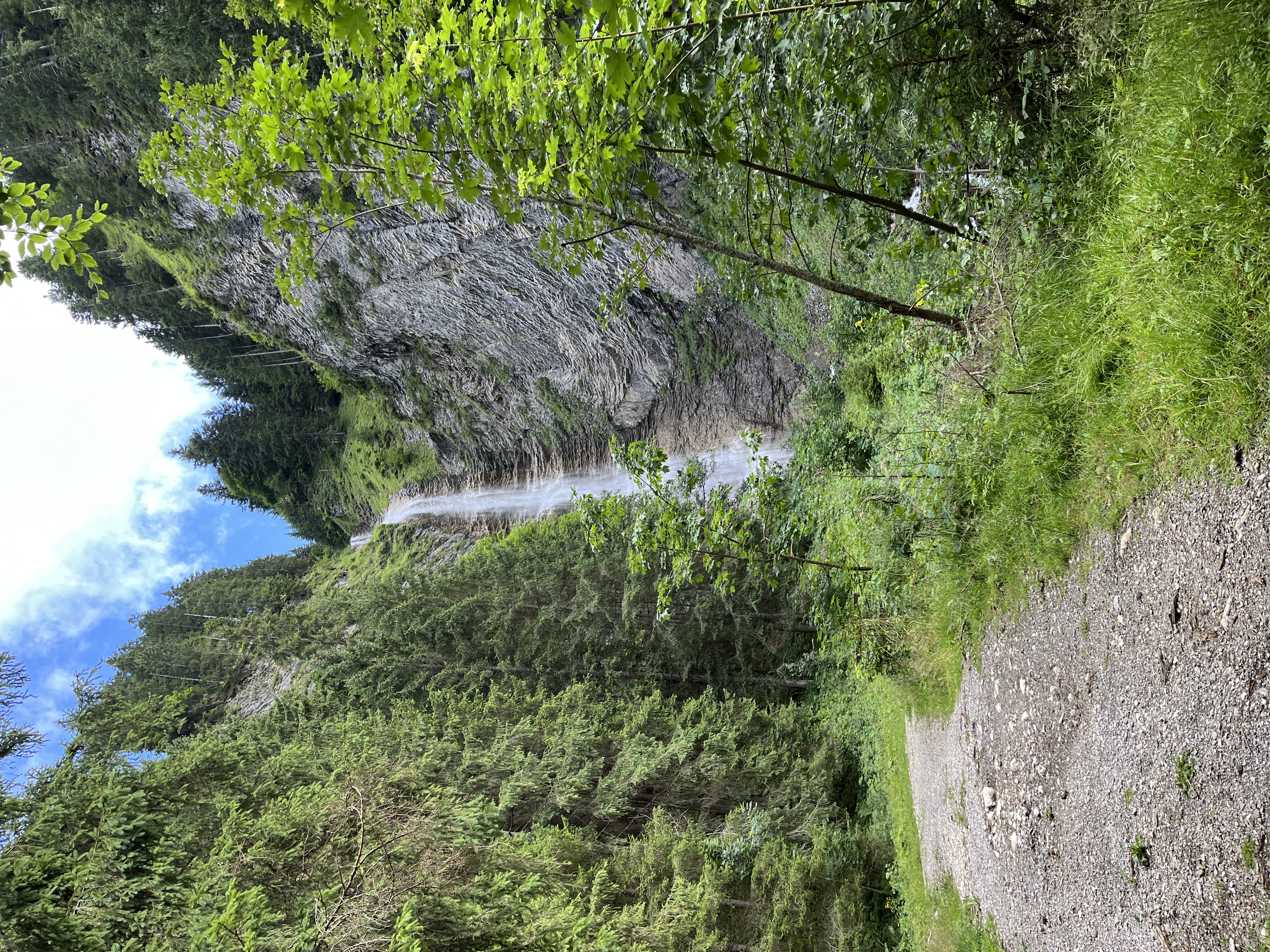
During two field days in the Außerfern region, I used QField, work smartphones, and external GNSS equipment to verify mapped points and trail geometries directly against real-world conditions.
Tools & skills
- ArcGIS Pro
- ArcGIS Enterprise
- QField
- GNSS
- Geodatabases
- Cartographic Generalization
- Spatial Data Quality
Reflection & direction
The internship significantly strengthened my practical GIS skills and gave me insight into the amount of data modelling, judgement, coordination, and maintenance behind a finished geospatial product. It also helped me clarify my professional direction: rather than specializing in classical cartography, I want to develop further toward technical geospatial work, cloud-native data infrastructures, geospatial software, and scalable Earth observation solutions.